

By David Kinney and Kurt Fesenmyer
Recently, Trout Unlimited hosted a series of discussions with conservation groups, regulatory agencies, and the pipeline industry about the siting of major natural gas pipelines.
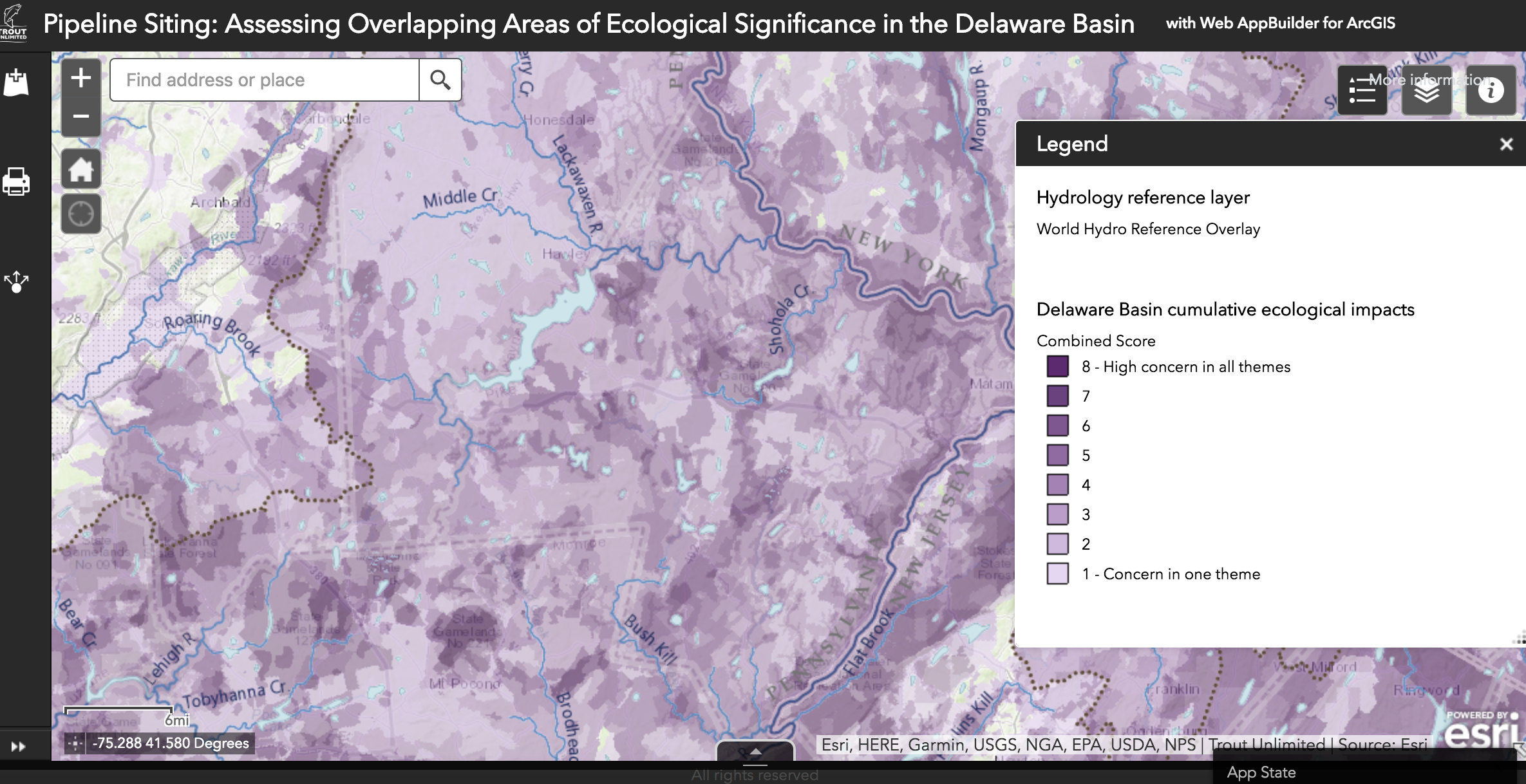
It’s a complex and contentious topic, but the outcome of the conversation was something quite simple: a map.
Our idea was to highlight natural resources in need of protection when a company decides to cut through a wide swath of landscape and install a new pipeline. These include special places like wild trout streams, wildlife habitat key to the region’s biodiversity, and intact headwater forests.
TU’s new interactive web-based map helps visualize cumulative ecological impacts of pipeline infrastructure in the four Delaware River Basin states.
Now, we are working with partners now to put this tool in the hands of stakeholders who have a role in deciding where and how major pipelines will be constructed:
-
State and federal regulators: TU’s map is built around the idea of cumulative impacts, a critical factor that is not always considered during reviews by the Federal Energy Regulatory Commission (FERC) and the other federal and state agencies charged with reviewing the environmental impacts of proposed pipeline projects.
-
Conservation groups and private citizens: Reviewing and responding to pipeline proposals can be complicated. This map helps organizations and individuals document impacts to natural resources and share them with regulators and the general public.
-
Pipeline companies: By the time new projects are announced, many major decisions have already been made during planning processes that can extend for more than a year. As they consider how to route a pipeline, company officials consider state and federal environmental regulations, as well as constructability and landowner issues. Our interactive map is designed to highlight important natural resources for industry at this very early stage in the process.
Tools like these are critical amid a once-in-a-generation build-out of pipelines to move natural gas from the Marcellus shale region to markets on the East Coast and to export terminals.
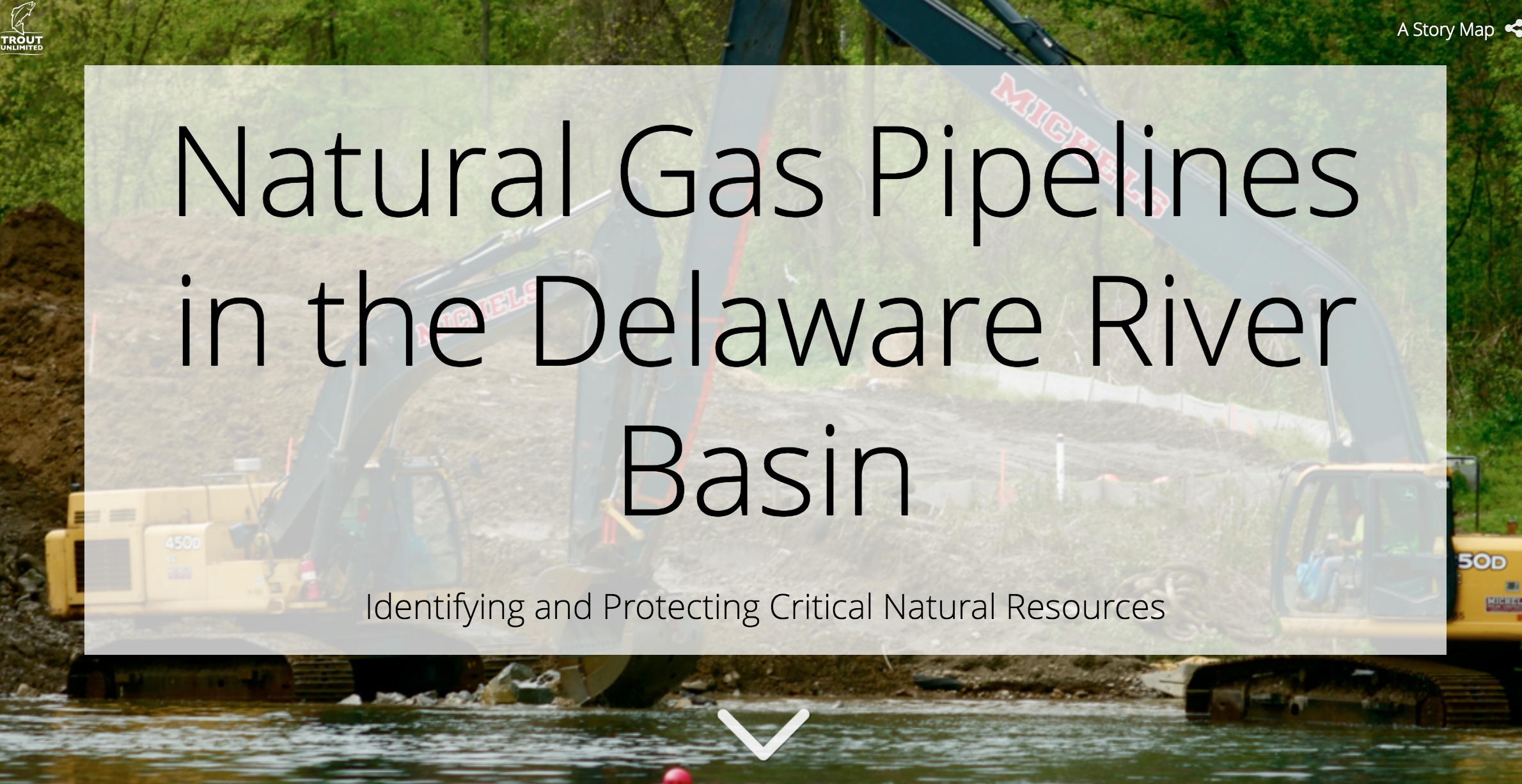
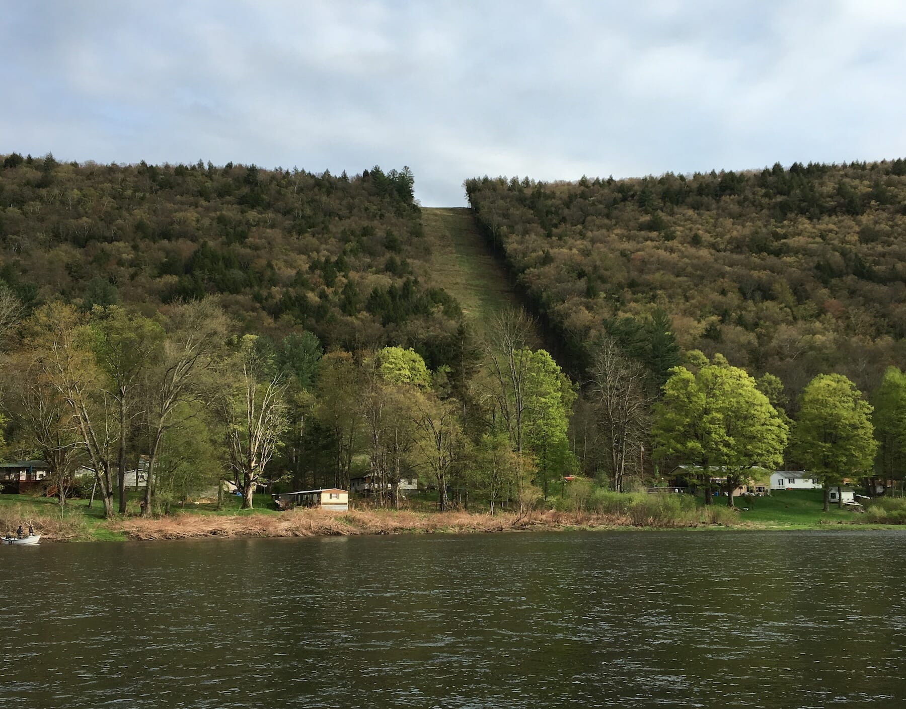
We know the substantial impacts that this work (click the link to the left to visit a story map on the issue) can have on our streams and forests and the fish and wildlife that live there. Building natural gas lines requires cutting new pathways through intact forests and crossing hundreds of waterways, including headwaters that support the region’s native brook trout.
One study examined eight proposed pipelines totaling 322 miles in the DRB. If constructed, they would require a perennial stream crossing every two miles and more than nine acres of land disturbance for every mile of pipeline.
Numerous other factors play a significant role in the siting of major pipeline infrastructure, including local community impacts to private landowner concerns to the location of historical places. TU’s analysis focuses on areas of ecological significance, and this web map is best viewed as a first-cut look at this aspect of potential impacts.
For more information about this work, or to help encourage its use in the DRB, please contact us at the links below.
David Kinney is TU’s Eastern Policy Director. Kurt Fesenmyer is GIS and Conservation Planning Director.