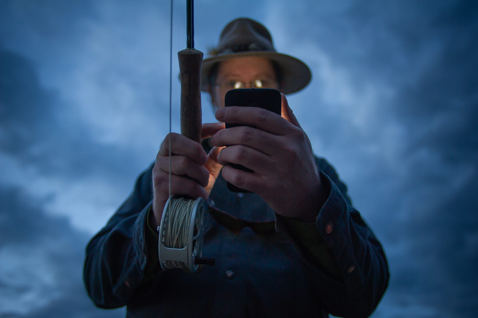
I’m guessing that by now most of you have heard of a super handy GPS mapping app called onX. It was developed mainly for hunting many years ago and originally used physical cards you inserted into a GPS. Fast forward a decade and it’s the #1 Hunting GPS App you can buy on your smartphone.
There’s a reason for this. It’s incredibly simple to use, intuitive as hell and just flat out works. It’s key features show nationwide public and private lands, waypoints, lines and areas, as well as Topographic and 3D maps. You can track your route, location and elevation profile and can build custom map layers. My personal favorite global feature is the incredibly high resolution off-line map setting. Simply download a, 5, 10, or 150 mile wide maps and boom you’re in the game without any cell service.
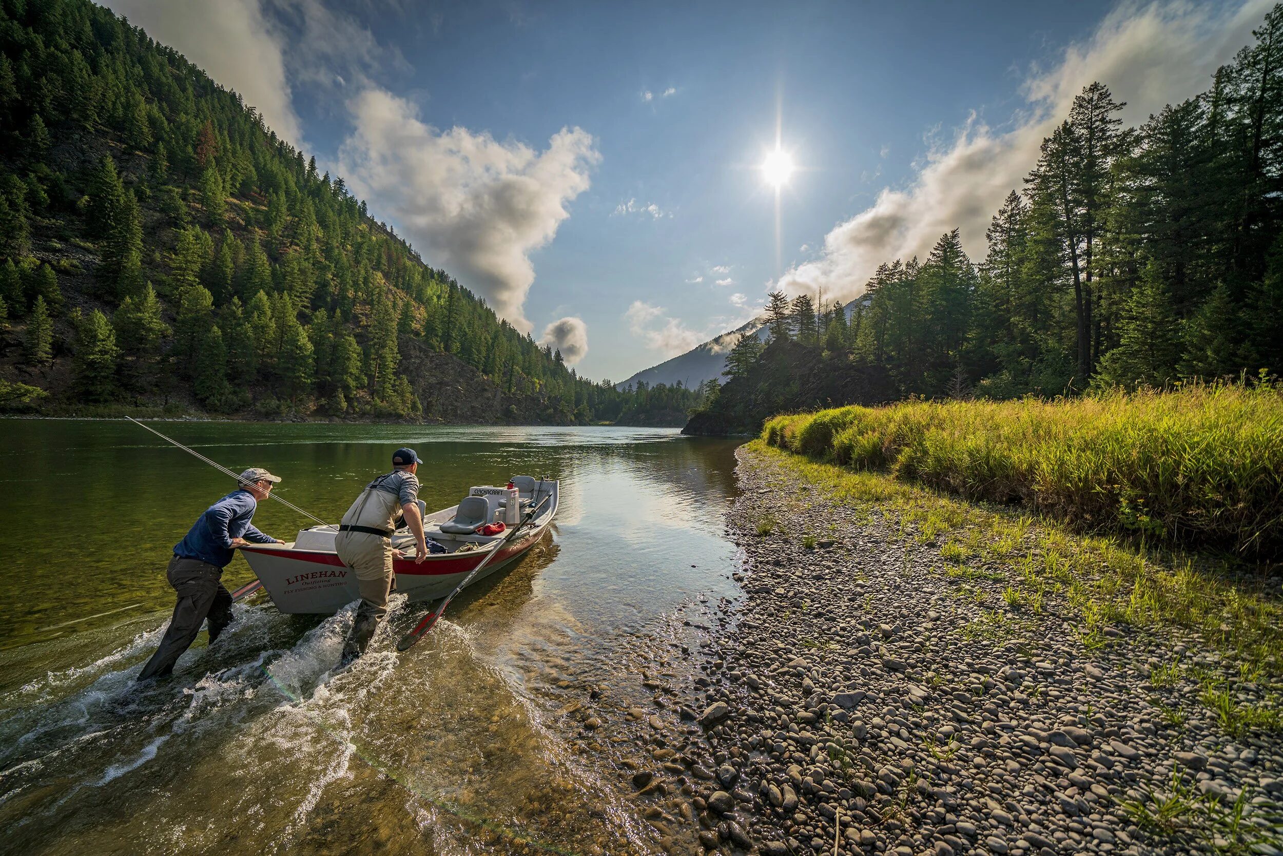
While all of these features were developed for hunting it becomes very obvious, very quickly how well they work for serious boaters and anglers going into the back country needing to figure out property boundaries while floating or blue lining.
Here are a few of my favorite uses:
- Drop a way point on any map to designate anything you want. Specific camps, locals only boat ramps, technical rapids, that amazing hot spring you found on the last float, the honey hole you want to hit next time, etc… If you’re in the back country drop one to let your spouse or friends where you’re starting. The coolest part and again it’s so easy to do – is attach a photo or notes to the way point as well, enhancing all the info for later. That you can share with any other person that has the App. An incredible bonus.
- Private vrs. public: As boaters and anglers we all know this can be a thorny issue, that gets contentious quickly. The thing is, it’s never been easier to know where you are and if you’re breaking the law than with onX. Simply download a hi-res map before you leave and be sure to check that it’s working. You’ll never second guess again if you should drop anchor, set up camp or wade a particularly amazing stretch of water. This is especially important if you live in a state like Colorado, like I do. It’s one of the most absurdly ass-backward (if not the worst) and Draconian places for water access in the entire United States
- Layers: There are an incredible amount options you can toggle on or off an any given map, like private lands, state Gov. lands, possible access, GMUs, walk in access, and species activity. That said it’s all VERY straight forward and easy to do. My favorite is the River Stage Forecast Layer that brings up CFS, flood stages historic data, and a bunch more for most rivers that you’d be on floating or fishing.
These are but a small selection of what this amazingly robust app can do. While, most mapping apps can be intimidating to use and have a steep learning curve. onX does not. Give it a whirl next time you’re out on the river and inclined to such things. I’m guessing you won’t be disappointed.