Oscar Wilde’s famous quote “No great deed goes unpunished” might be a bit more cynical of a philosophy than we like to believe here at Trout Unlimited. In fact, when replacing old culverts and removing barriers to fish passage, we’re far more likely to be blessed than cursed for the work.
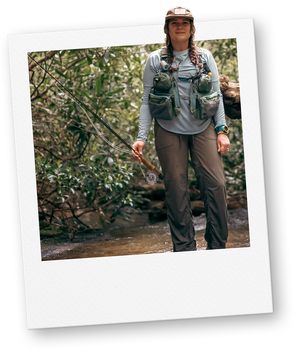
We smile brightly at the sight of a beautiful brook trout swimming under a new bridge. We take our time driving over a road that no longer floods. We snap a quick photo of a Swallowtail taking a rest on the budding native Willows that were planted just weeks before.
However, it would be a lie if we told you that our recently started reconnection efforts in the Adirondacks this season went off without a hitch.
Challenges lead to successes
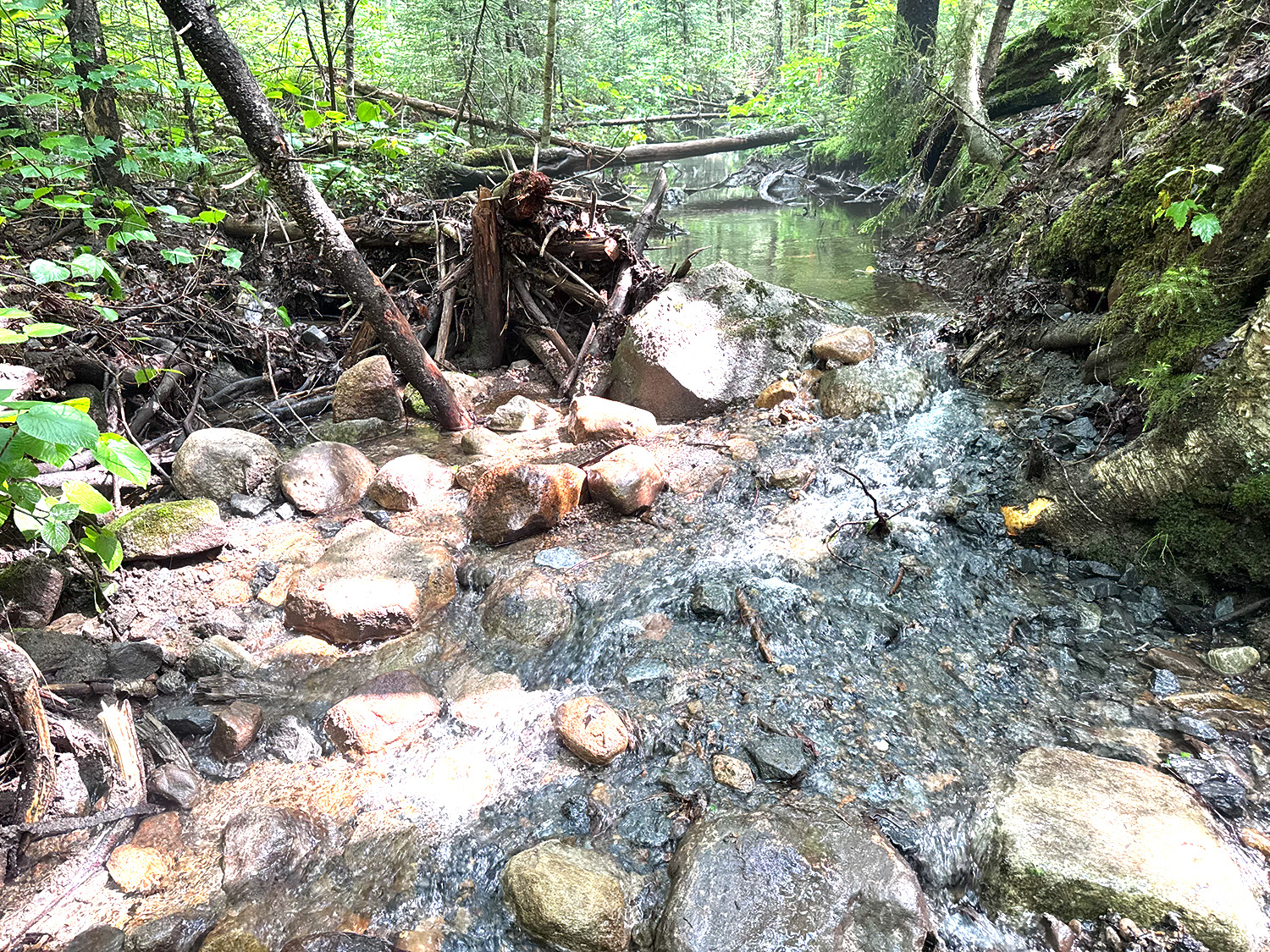
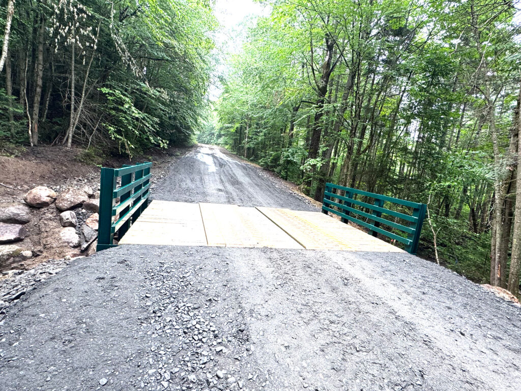
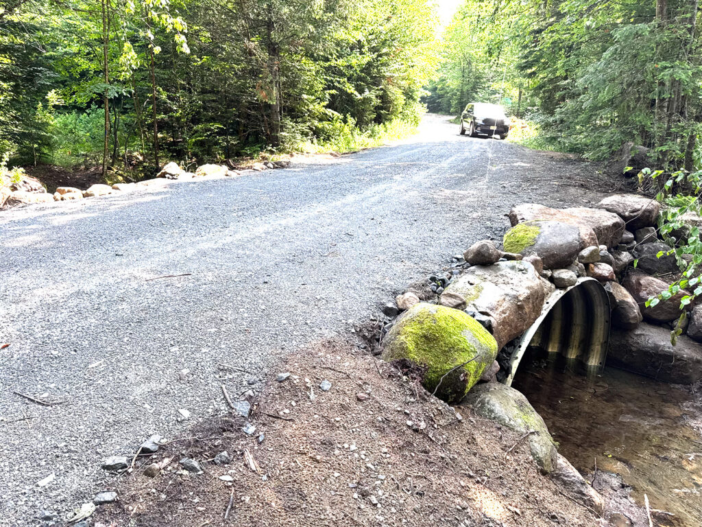
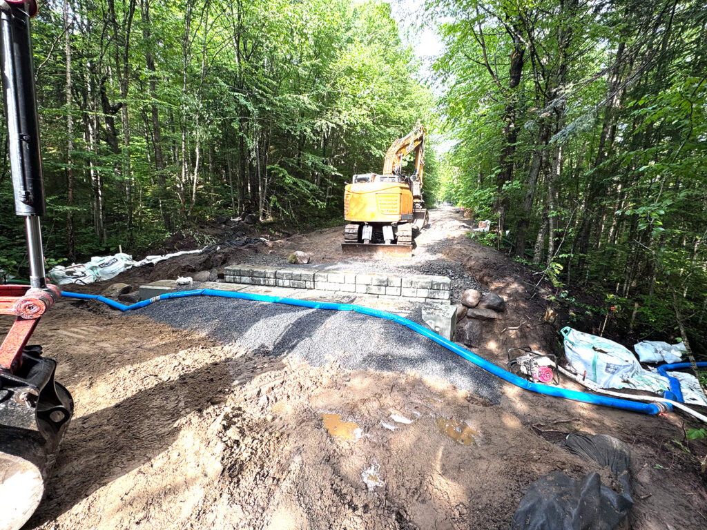
In June, TU and our partners at the New York Department of Environmental Conservation (DEC) excitedly kick off the beginning of implementation of the South Branch Moose River Reconnection Project. Over the next three to five years, the project’s goal is to replace 63 culverts and reconnect 44 miles of prime native brook trout waters.
Challenges arrived early, many of them out of the team’s control.
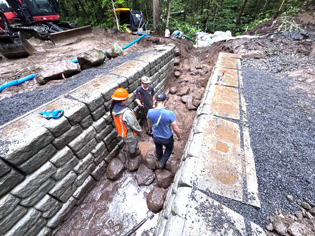
The crew endured unexpected torrential downpours, lack of cell service, collapsing roads, painfully swelling bug bites, extreme heat and a very short window to complete the first stages of the project.
Despite these circumstances, our team came out on top and left the Moose River Plains with a great sense of pride and positivity while looking forward to the many more phases that still lay ahead.
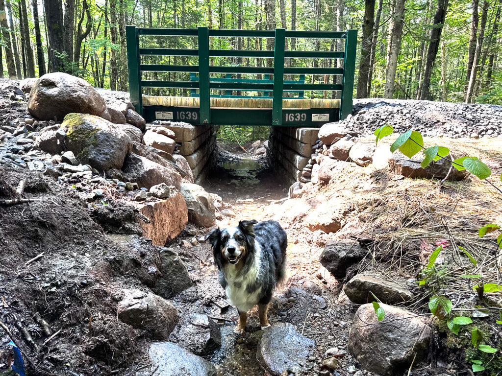
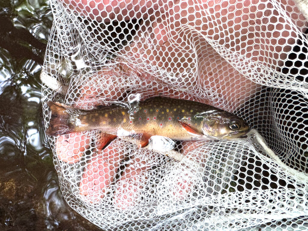
“In less than three weeks TU and DEC replaced three culverts with improved structures and removed a fourth, reconnecting over 3 miles of prime brook trout habitat,” said Jo-Anne Humphreys, TUs stream specialist and the designer of all the replacement projects.
In September, TU will return to tackle three more culverts bringing the tally up to 7 miles of reconnection progress in the South Moose in 2026.
The late nights and early mornings just became a part of the process for TU’s project coordinator, Jeremiah Stone, who stationed this project through thick and thin and from start to finish.
“This project simply could not have happened without the fiercely dedicated team involved,” Stone said. “Our partners at NYSDEC, and DEC Region 5 aquatic biologist Jim Pinheiro and forester Jamie Parslow and their teams were instrumental in the project’s success.”
A big thanks to those who helped
Our contractor on this project, Connor Burgess from C. Burgess Contracting LLC out of Indian Lake, N.Y., could not be stopped, no matter the obstacle. Burgess’s sense of pride in his team’s work kept everyone believing and pushing, even when the days grew long and new challenges arrived.
Special kudos, also, to Lenny Croote of the Hamilton County Soil and Water Conservation District and Tracy Eldridge from the Hamilton County Department of Public Works for their help hauling, seeding and hauling some more. The town of Inlet and Indian Lake were also there to help as needed.
Thank you to all who came out to visit the Moose River Plains during this phase and made alternate plans for travel routes while this effort was underway.
“I was inspired by several of the local recreational visitors,” said TU Field Coordinator Asia Rose, who was instrumental in project construction oversight. “So many were curious, friendly and excited to learn about what we were up to. It made for great conversation and was a reminder of how special this work in the South Moose really is for all lovers of the Adirondacks.”
This project was in part funded by a grant from the Sustain Our Great Lakes Program National Fish and Wildlife Foundation and by a Water Quality Improvement Project grant with funds from the New York State Environmental Protection Fund, Clean Water Infrastructure Act, or the 2022 Clean Air, Clean Water, Green Jobs Environmental Bond Act, and administered by the New York State Department of Environmental Conservation.
DEC’s Great Lakes Program and New York State Water Resources Institute at Cornell University helped fund project development and monitoring and was critical in funding the initial planning for the grant. Additional support was provided by the Richard King Mellon Foundation. Since 1947, the Richard King Mellon Foundation has funded visionaries with bold ideas to advance environmental conservation across the United States.
Editor’s note: Jesse Vadala is TU’s engagement manager in New York and Connecticut. He can be reached at jesse.vadala@tu.org. To stay in the loop on these efforts and more, follow @TU_Northeast on Instagram.