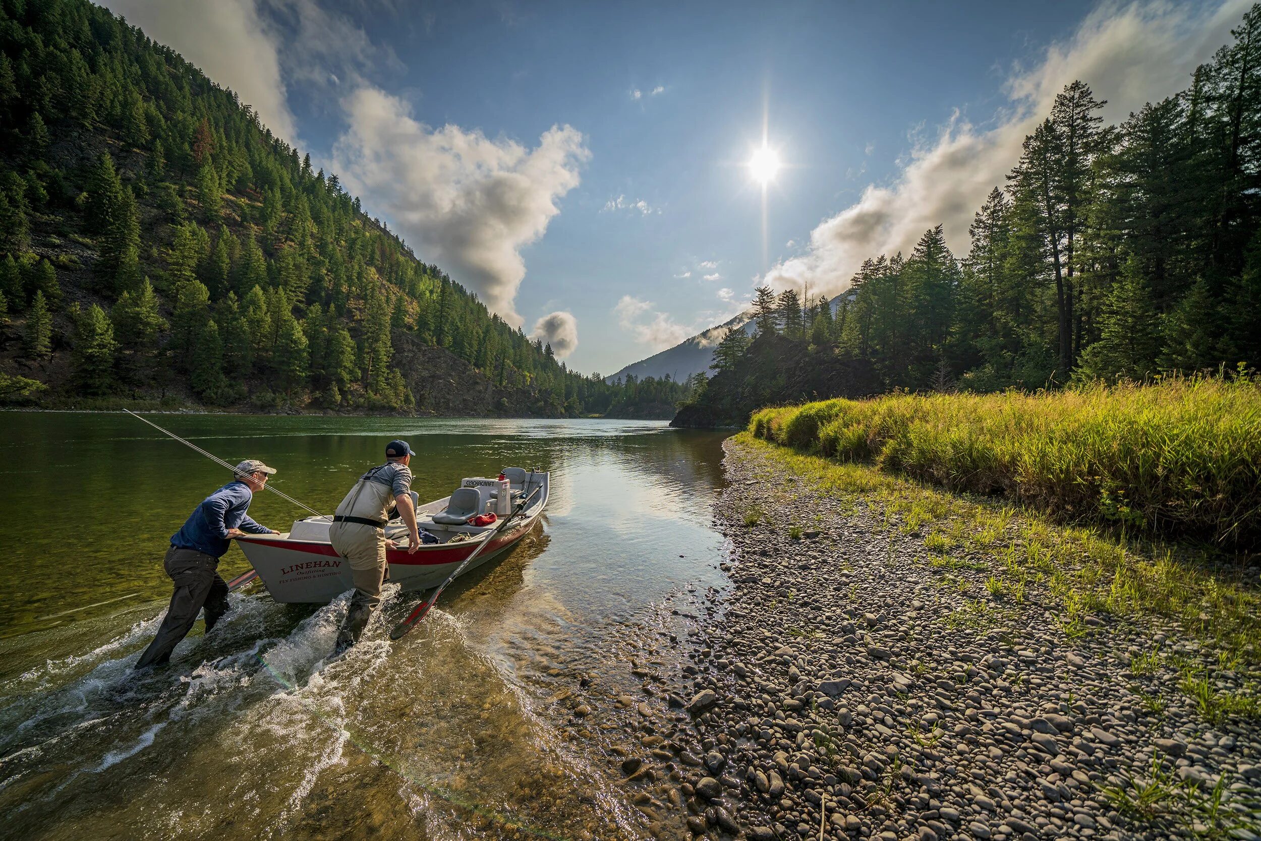
The fly shop conversation at my last visit was about how few times any of us were able to go trout fishing during 2018 because of all the rain—with stream flows too heavy to allow safe fishing.
One friend said that he had not bought a license to fish in some nearby states this year because there were no opportunities to get out during prime fishing season. I typically buy licenses to fish in Virginia (where I live), Maryland and Pennsylvania. I never fished in MD at all this year. I only fished once in VA, and that was on private water. Why? We had 30 inches more rain during 2018 than during a typical year.
So, I was interested in reviewing the climate literature (last year’s National Climate Assessment) to see whether this might be the new normal, or whether 2018 was an aberration. My review focused on predictions for the mid-Atlantic States. I looked at model predictions for the Northeast and Southeast United States. What I found was that there are not expected to be significant increases in annual precipitation levels in the mid-Atlantic States compared with an historical baseline, but that there will be more extreme weather, which means that many inches of rain can fall in a watershed in a short period of time, with attendant flooding.
In recent years in the Southeast, summers have either been increasingly dry, or extremely wet. Temperatures across the SE are expected to increase during this century. Major consequences of warming include significant increases in the number of hot days (95F or above) and decreases in freezing events. Projections of future precipitation patterns are less certain than projections for temperature increases. Because the SE is located in the transition zone between projected wetter conditions to the north and drier conditions to the Southwest, many of the model projections show only small changes relative to normal variations. However, many models do project drier conditions to the SW of the region, and wetter conditions in the Northeast of the region, consistent with the larger continental scale pattern of wetness and dryness.
The Northeast has experienced a greater recent increase in extreme precipitation than any other region in the U.S. Between 1950 and 2010, the NE saw more than a 50 percent increase in the amount of precipitation falling in very heavy events. Much of the southern portion of the region (mid-Atlantic) is projected by mid-century to experience many more days per year above 90F compared with the end of the last century, if GHG emissions continue to increase. A range of model projections under a higher emissions scenario averaged over the region suggest about 5-20 percent increases in winter precipitation. Projected changes in the summer and fall, and for the entire year, are generally small at the end of the century compared with natural variations. The frequency of heavy downpours is projected to continue to increase as the century progresses. Seasonal drought risk is also projected to increase in summer and fall as higher temperatures lead to greater evaporation and earlier winter and spring snowmelt.
So, we as TU members need to work to make our local trout waters more resilient to higher temperatures, heavy rainfall events, as well as possible drought conditions. When it rains it pours!