
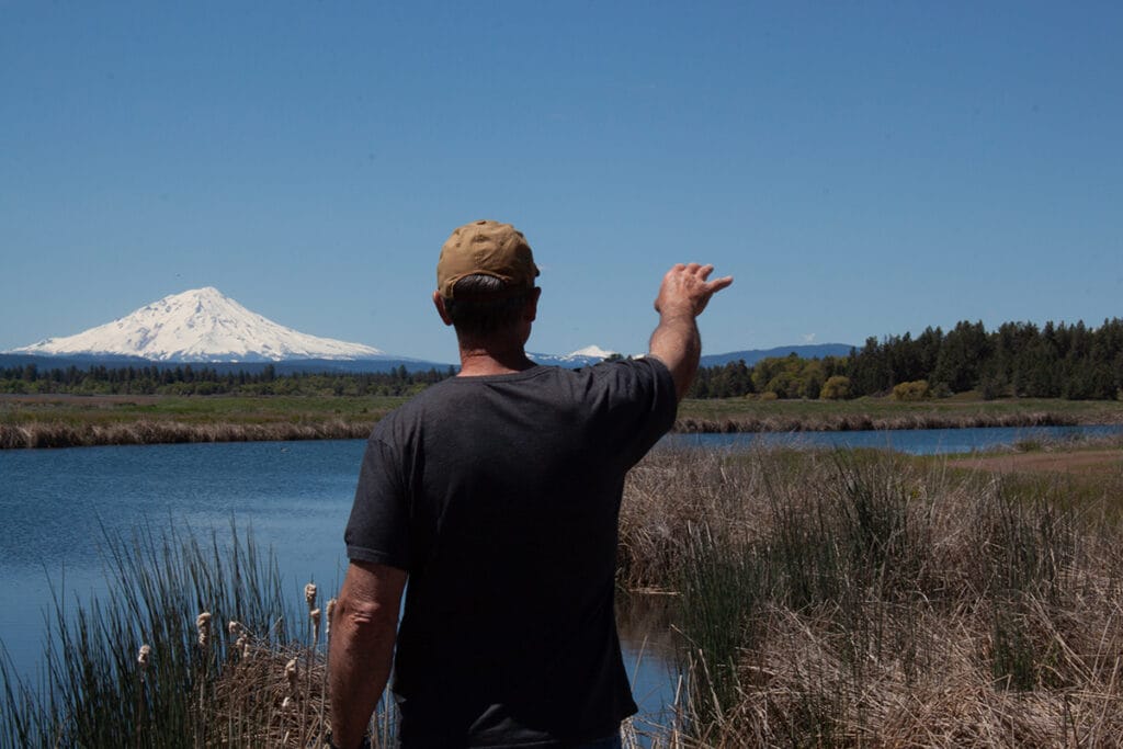
Dan Johnson is an amiable bear of a man with an ursine nose for finding things. We were on a mission to find one of the sources of California’s largest spring creek, the Fall River.
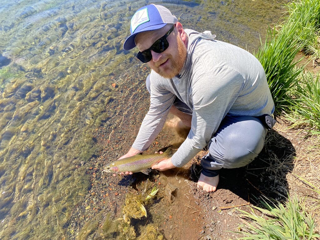
Yes, that Fall River. The one whose unique chemistry produces huge volumes of macroinvertebrates, dense hatches of midges, mayflies and caddis and large, heavy, wild rainbows. The one revered as one of the most iconic trout fisheries in the West.
An hour’s drive northwest of and 3000’ higher than the Fall River, Dan and I were pitching and rolling in his truck along forest roads in the region known as Satitla to the local Pit River Tribe, dodging potholes and downed trees, looking for an ice cave.
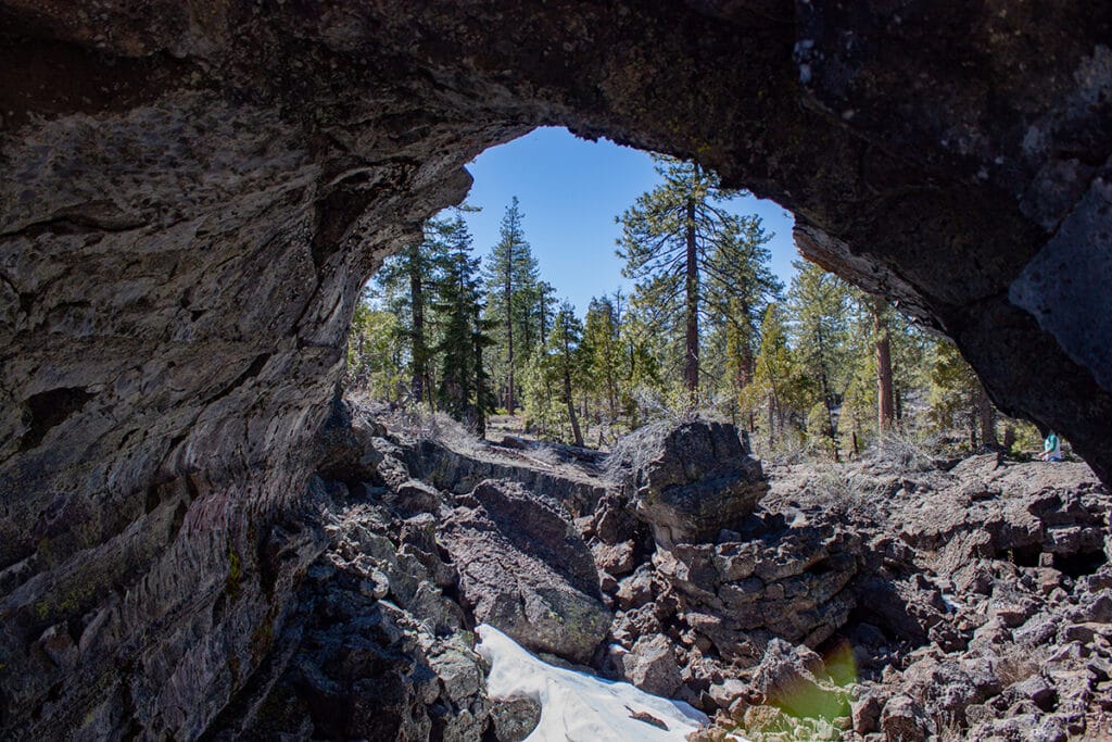
An ice cave is a remarkable geologic feature whose bowels create sub-freezing temperatures even on the hottest days and contain year-round reserves of water stored as ice.
A map promised that at the end of a narrow forest road we would find one of the ice caves that dot the landscape of the Satitla region –– also known as the Medicine Lake Highlands –– in northern California. The one we were after, however, was proving elusive.
When the spur road we had turned down became impassable, we parked the truck and proceeded on foot. More hiking than the map suggested brought us to the end of the road –– and no sign of the ice cave.
“Aha!” crowed Dan. I moved quickly to where he stood, pointing at the ground. I expected to see a small cave-mouth yawning. But there was nothing of the sort –– just forest duff and small pines and manzanita shrubs growing from it. I said, “Huh?”
Dan is a competent forager and I am, well, not. Shrugging at my lack of perception, he bent down and pointed at several bumps bulging from the duff next to baby pines. “Morels!” he said.
Our exploration was not a waste of time, after all. Dan detached the wrinkled nubs and put them lovingly in his day pack.
About this place
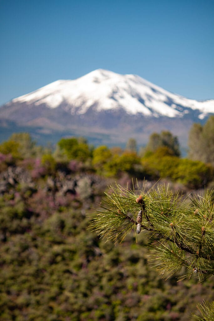
Satitla is an area of some 200,000 acres of national forest lands east of Mt. Shasta. It’s a remote landscape, some of which is so rugged one wonders how indigenous peoples, and those who came through later on foot or horseback or in wagons, were able to navigate it without GPS devices and Vibram-soled shoes.
Satitla is a wonder for another reason: its porous volcanic geology filters and collects water from rain and snowmelt and harbors this water in a huge natural underground reservoir –– a reservoir that holds as much water as California’s 200 largest surface reservoirs combined.
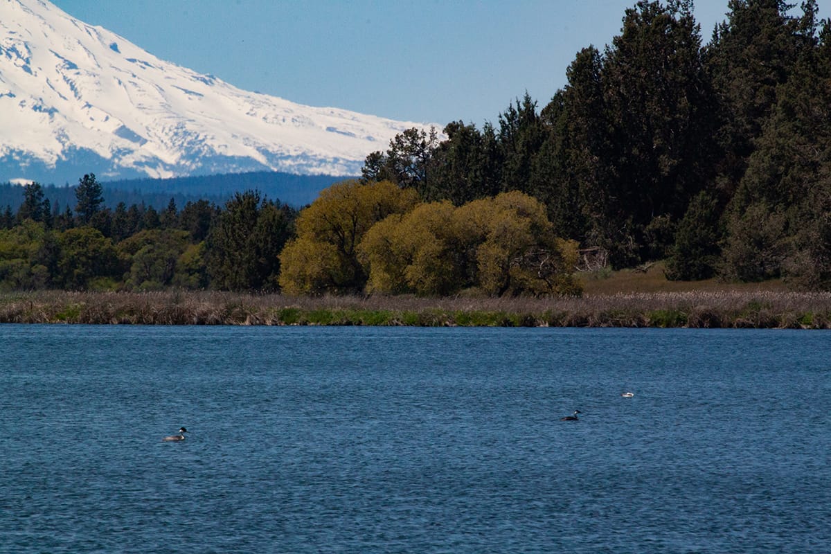
Some of the water released by this vast subterranean cistern flows down the spine of the largest shield volcano in North America and comes out of the ground at the widow’s peak of the Fall River Valley, where it becomes a spring system so extensive and profligate that it supports a miles-wide valley of rice paddies and luxurious cattle forage at 3,200 feet of elevation.
This spring system is the source of the Fall River and its renowned trout fishing.
A place worth protecting
That was why Dan and I were trying to find an ice cave — to see one of the downspouts that feeds into a complex hydrologic system, a system that takes water from the highlands (more than 6,000’ above sea level) around Medicine Lake and transports it some 35 miles to the southeast, where it wells out of the depths at Ahjumawi State Park –– California’s only state park accessible solely by watercraft –– and multiple other large springs nearby.
While the outflow of the Satitla water reserve is permanently protected as a state park, most of the rest of the region has no such protective designations –– it’s almost entirely national forest land managed for multiple use.
Among the uses proposed for Satitla is a large geothermal energy project.
The Pit River Tribe, working with the Mount Shasta Ecology Center, has been battling energy and water development projects proposed for Satitla for some three decades, trying to protect the cultural and ecological values of their homeland. Last fall, the Tribe launched a new campaign to gain permanent protection for Satitla by having the region designated a national monument.
Trout Unlimited, Backcountry Hunters and Anglers and other conservation-oriented sporting groups are strongly supporting this campaign. You can learn more about this important campaign, and sign a petition supporting national monument designation for Satitla/Medicine Lake highlands, here.
It’s no mystery why anglers and hunters have rallied behind the effort to permanently protect Satitla. This region is distinguished not only by its cultural importance but also by its biodiversity, productive freshwater and upland habitats and exceptional fishing and hunting opportunities. National monument status helps protect habitat and sustain sporting opportunities in numerous places around the country.
With the rapidly warming climate making conditions in many streams and terrestrial habitats increasingly less friendly for fish and game, we need to better protect those places that are key for biodiversity –– such as sources of clean, cold water –– and that remain productive ecologically. And we need to do this quickly.
One thing that did not happen quickly? Dan’s and my eventual encounter with an ice cave. It was literally right next to the main road, a few miles uphill from where Dan harvested the morels. In mid-May, a patch of snow persisted at its aperture to the west.
I looked at it with new appreciation. See you in a few years, I thought, down on the Fall River.