

By Jake Lemon
The Central Sands region of Wisconsin encompasses 1.75 million acres and parts of eight counties in Central Wisconsin, boasting 800 miles of trout streams.
With the headwaters of these streams facing a variety of stressors, Trout Unlimited chapters in the region are joining forces in a new initiative to strengthen TU’s efforts to restore and sustain these coldwater fisheries.
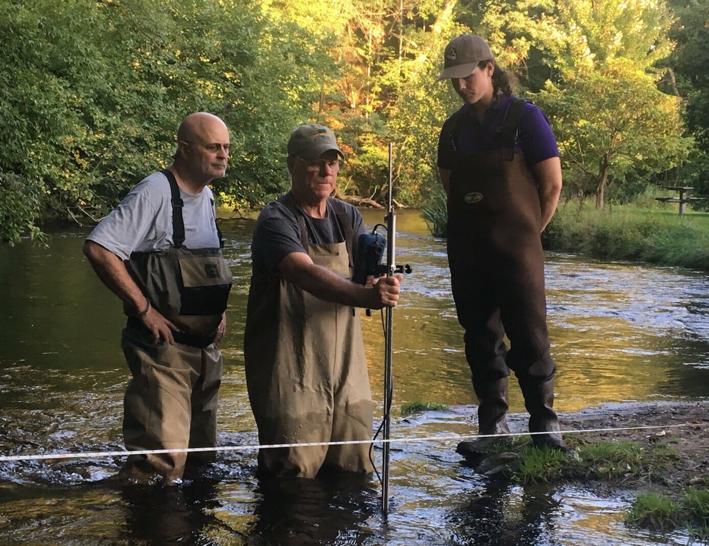
With the support of TU staff, Trout Unlimited’s Central Area Restoration Effort for Sustainability (TU CARES) is partnering with the Wisconsin Department of Natural Resource’s Water Use Section to enhance their capacity to collect water quantity data at critical headwater streams in the Central Sands region.
Aquifer-supported streams
Streams in the Central Sands region are connected to a sand and gravel aquifer that sustains them with cold and clean water. The aquifer, which is recharged by local precipitation, provides the foundation supporting wild populations of brook, rainbow and brown trout and excellent angling opportunities to residents and visitors from throughout the Midwest. A network of state lands, road crossings and fishing access easements provide excellent public access to these coldwater resources.
TU CARES is an effort that seeks to increase TU’s capacity in the region by taking on projects that exceed the capabilities of a single chapter. The water monitoring pilot project is one such effort.
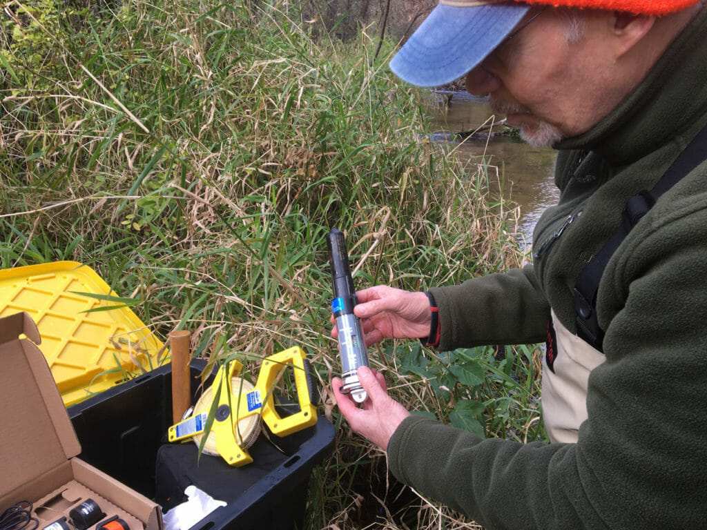
TU CARES volunteers have deployed 10 depth loggers and are conducting regular discharge measurements in the Pine River, Mecan River and Tagatz Creek watersheds.
Streams that were most resilient to future climate change impacts and most at-risk from future water withdrawals were prioritized for monitoring.
This data will serve as a foundation to protect these streams and ensure they sustain robust coldwater fish populations for generations to come.
The groundwater resources that sustain coldwater fisheries in the region also supports extensive agricultural activities, as well as municipalities and industry.
Well use increasing
The prevalence of high-capacity wells (wells that pump more than 100,000 gallons of water per day) has exploded in the past 70 years. Starting with two high capacity wells in 1950, the number of wells increased to 497 by 1970. By 2000, there were 1,757 wells in the region, increasing to more than 2,500 today.
This steady increase has the potential to stress surface water resources in the region. During a modest dry period in the mid-2000s, sections of the Little Plover River completely dried, killing thousands of trout. The Little Plover is a Class 1 trout stream, Wisconsin’s highest trout stream classification, supporting natural reproduction of wild trout at or near carrying capacity.
Studies completed by state agencies and academic institutions have implicated water withdrawals in the drying of the Little Plover. With projections of longer dry periods and higher rates of evapotranspiration in the future, climate change could lead to increases in demand for irrigation.
While the number of high-capacity wells continue to grow, regulations on surface water resources have weakened. Wisconsin DNR can no longer consider cumulative impacts when reviewing permit applications, monitoring requirements for well operators were lessened and DNR can no longer conduct an environmental review when high capacity wells are sold or replaced.
Monitoring partnership helping
To help address data needs related to this issue, DNR initiated a baseflow monitoring project in partnership with the University of Wisconsin Stevens Point (UWSP) and local governments. Still, according to DNR scientists, water quantity data are most lacking in the headwater areas of the Central Sands region. These headwater areas represent habitat that is most resilient to the impacts of climate change, according to models developed by the United State Geological Survey (USGS) and DNR.
The TU chapters participating in the TU CARES initiative are proud to be involved in collecting the information that will be critically important for making informed decisions regarding water use in the region.
Jake Lemon is Trout Unlimited’s eastern angler science coordinator. He is based in Michigan.