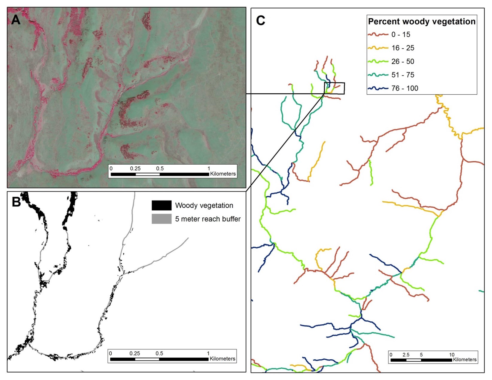
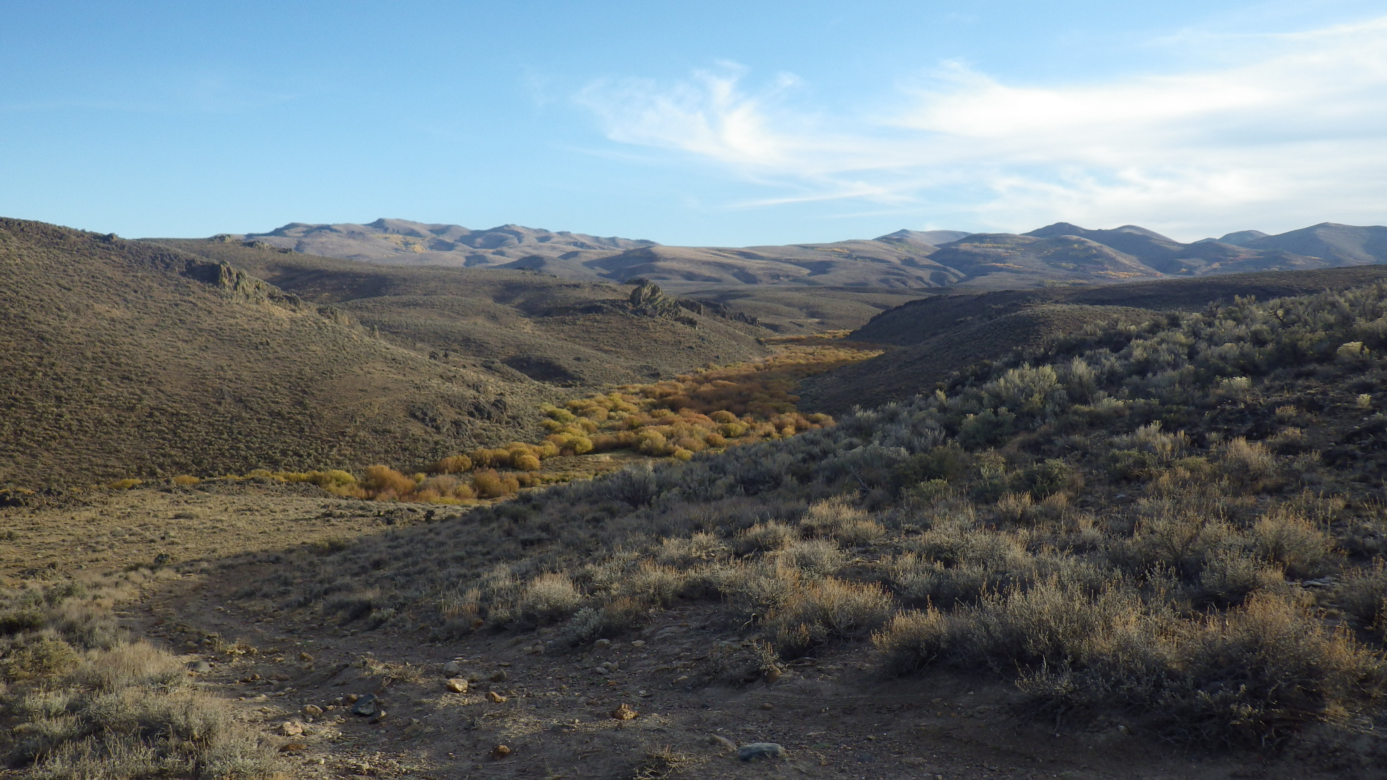
TU scientists used National Agricultural Imagery Program (NAIP) aerial imagery to characterize woody riparian vegetation in southwestern Idaho and northern Nevada, which was shown to be more predictive of redband trout distribution and abundance than field-based habitat measurements. Our study highlighted how free high-resolution imagery can be used to characterize woody riparian vegetation and redband trout habitat across a large and remote desert landscape that can be difficult to access for field surveys. It also suggests imagery from the National Agricultural Imagery Program may have wider application in identifying stream habitat restoration opportunities, where land and water uses have negatively impacted woody riparian vegetation in desert regions of the interior western United States.