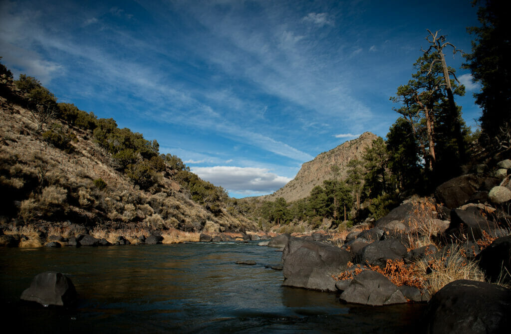
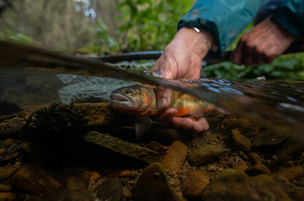
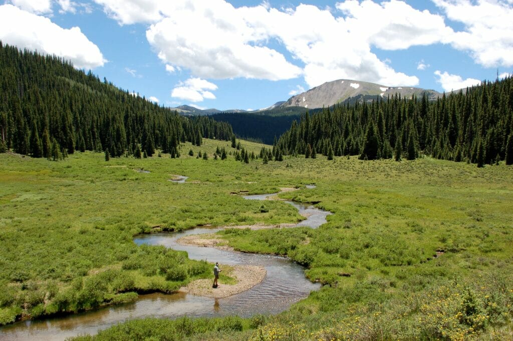
From its headwaters in the high peaks of Colorado through the northernmost rift valley of New Mexico, a region known as Rio Arriba, the Upper Rio Grande is a fabulous fishing stream. For 200 miles, the river is filled with trout, pike, smallmouth bass, and carp. Major tributary streams like the Conejos, Chama, Red, Jemez and Pecos are superb fisheries themselves, along with hundreds of additional feeders, many of which boast populations of the basin’s unique native trout, the Rio Grande cutthroat.
The Rio’s fishing and rough-hewn beauty arguably comprise its two most comprehensible attributes. Otherwise, the basin confounds the imagination like few landscapes can. Draining an area larger than the state of Texas, the 1,896-mile Rio Grande is the fourth longest river in the United States. Yet it doesn’t come close to breaking the top 50 in terms of discharge volume.
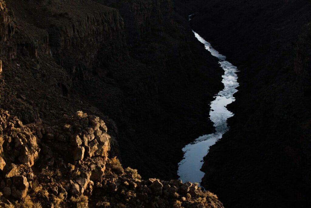
Geologically speaking, the Rio Grande flows through the central rift of a spreading zone expanding to the east and west, where several growing mountain ranges have by turns lifted and slumped over the course of ten million years or so. The rift valley is one of the most active volcanic regions in North America, containing super volcanoes and lava domes as well as expanses of floodplain basalt. Colorado’s San Luis Valley is the former bed of Lake Alamosa, an enormous (8,000 square miles at its largest) terminal water body that overflowed its southern end approximately 450,000 years ago. Not only did its erosional power cut the Rio Grande gorge–to the glee of rafters and anglers–the draining of the lake left behind one of Colorado’s most productive and yet water-challenged farming regions.
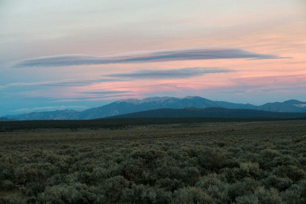
In many respects, the Rio Grande watershed is just a typical Rocky Mountain landscape with aspen and mixed conifer-cloaked mountains, lowlands of sagebrush, the occasional cactus plant, and cultivated alfalfa fields amid cottonwoods, pinon, and juniper. What’s not typical is the human element, a blend of diverse ancestral cultures still relevant and influential in today’s world.
Also, the landscape’s dryness is the judge and jury throughout the evolution of human and nonhuman communities here. Fed by winter snow and summer monsoon rains, the Rio’s hydrology is a feast and famine prospect under which Indigenous Puebloans and their more recently arrived Spanish neighbors hunted, fished, and foraged for generations. They prepared for flood in times of drought and drought in times of flood, used fire to improve grazing range and game habitat and to suppress undesirable plants and encourage others they needed for medicine and nourishment.
These two cultures came to share with one another extensively. Having farmed in the Rio Grande’s arid climate for centuries, Puebloans found value in Spanish acequia systems, which were themselves relics of another sharing moment when north Africans occupied Spain and brought their desert-adapted irrigation technologies with them. Puebloans and the Spanish shared their labor and harvests too. They bent watersheds to their will, coaxing the Three Sisters (squash, corn, and beans) from fertile soil.
Learn
Acequias
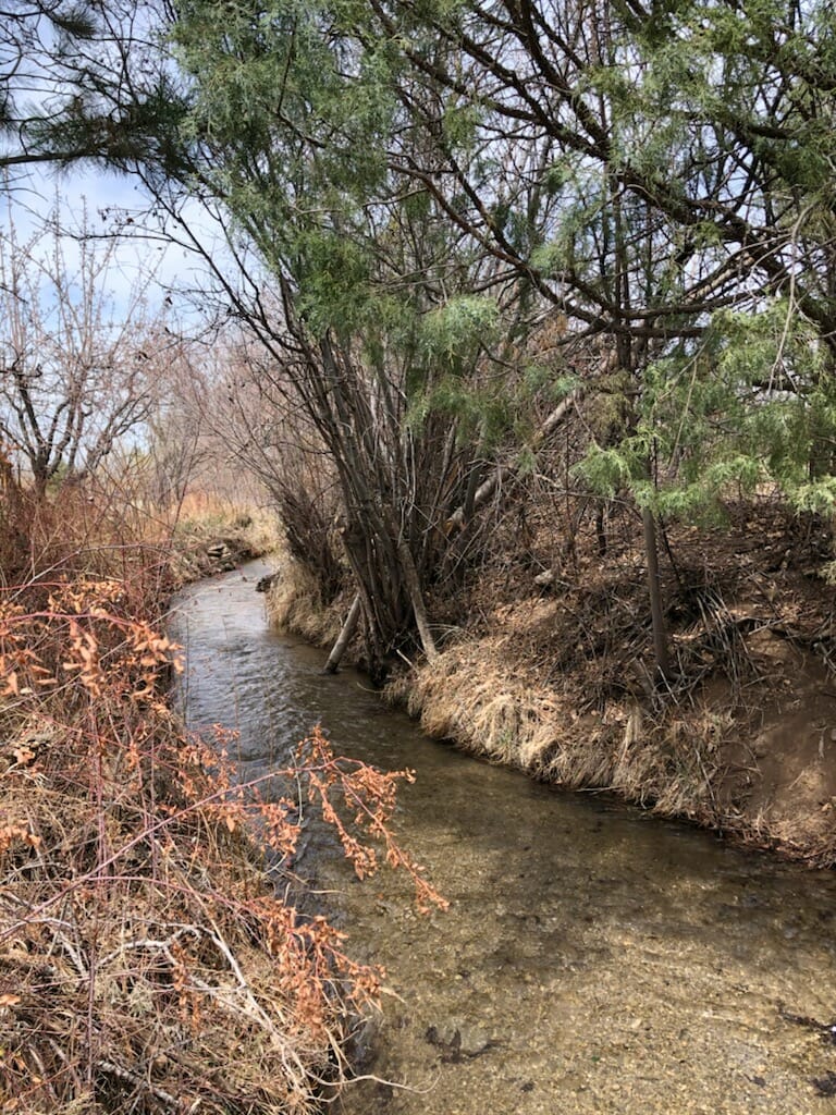
An acequia is a community-operated watercourse used in Spain and former Spanish colonies in the Americas for irrigation. Particularly in Spain, the Andes, northern Mexico, and the modern-day American Southwest particularly northern New Mexico and southern Colorado, acequias are usually historically engineered canals that carry snow runoff or river water to distant fields. Examples of acequias in New Mexico have lengthy historical roots to Pueblo and Hispano communities.
From Wikipedia
The state of the river
It has always been a challenge to stretch the Rio’s water to serve all the demands upon it, but most ominously in these current times. The river is overallocated among its six million human users across Colorado, New Mexico, Texas, and northern Mexico. As this population grows, climate change is causing more frequent and severe water shortages throughout the basin. It’s causing more catastrophic wildfires, more violent storms with more erosive power. The Rio Grande’s capacity to provide economic and ecological services–food, clean water, pollination, biodiversity–is badly compromised, which is why Trout Unlimited will be expanding its focus on this watershed in the years to come.